The Alpine Tunnel was constructed by the Denver, South Park & Pacific between 1880 and 1881 as part of their extension towards Gunnison, and eventually other points west. The tunnel was the first bore beneath the Continental Divide in North America. Throughout its life the route was plagued with problems – with cave-ins, severe weather, large ice blockages and severe snowfall, vicious competition with the Rio Grande narrow gauge for freight, and years of closure at a time just to name the top few. It’s no wonder that the Tunnel only remained in service for 29 years (1881-1910), and only open and passable for about half that time, before the line was abandoned. Still, the tunnel itself remains a remarkable achievement from that era, and is relatively easy to visit today.
The entire route is now part of the Alpine Tunnel Historic District, and through the tireless efforts of volunteers and the US Forest Service, much of the historical feel is being preserved or reconstructed to its 1910 state – the year trains stopped running. Even with the trains having been gone for nearly a century, there’s still plenty to see along the route. What follows is a taste of what you’ll see along the way, combined with a brief history of things that I hope I got correct.
A Brief History
What follows is 125 years of history crammed into a single page. The old DSP&P really isn’t one of my main interests, but I’ve done quite a bit of reading on the route both before and after the actual trip. Hopefully I’ve gotten what follows to be correct, but if any of you South Park experts find issues, please let me know. I’d be happy to correct any inaccuracies, or at least argue my sources against yours. For those looking to learn more, I strongly recommend Dow Helmer’s book, “The Alpine Tunnel”, as well as the articles by Gordon Chappell, Cornelius Hauck, and Bob Richardson in Colorado Railroad Annual #12, “The South Park Line, A Concise History.” There’s also a very helpful website on both the Alpine Tunnel Historic District and the non-profit volunteer group, the Alpine Tunnel Historic Association [here]. I owe all three of these sources a debt for teaching me enough to put this together. Thanks, and enjoy!
The Denver, South Park & Pacific was born around the same time as Palmer’s Denver & Rio Grande, even with similar initial goals of reaching south towards Santa Fe, but its destiny would be something far different. One of my favorite descriptions of the South Park comes from the second paragraph of Gordon Chappell’s “John Evans: Building the South Park,” in which he states: “It was a streak of rust from end to end during much of its existence. It was poorly surveyed, poorly financed, and in financial trouble during most of its history. It lost every serious competition in which it engaged with its various rivals. (…) Its main line to Gunnison operated for less than thirty years before abandonment, and then only intermittently.” It’s the most vivid picture I’ve ever heard painted of the South Park, describing everything that was so wrong with the railroad – and likely why it’s so fascinating to enthusiasts like myself today. It was, in a way, the anti-Rio Grande – lacking good management, good fortune, or adequate capital. Nearly everything it did, it either did too slowly or too poorly to make a success of it. This is, after all, the railroad that built over three 11,300+ foot passes (Kenosha, Boreas, and Fremont) to reach Leadville rather than just use the first and then construct 35 water-level miles up Arkansas River canyon, parallelling the existing Rio Grande grade. However, to the west of that fiasco lies one of the most interesting, and short-lived, pieces of the South Park – the Gunnison Division via the Alpine Tunnel.
In an effort to reach the booming regions around Gunnison, South Park engineers determined a route via Altman Pass to be their best option. Marshall Pass was reportedly considered as an easier route, but it would have required the line to dip some 25 miles further south before heading west on a less direct route to Gunnison. The route would, however, require a tunnel, approximately 1800 feet in length, bored directly under the Continental Divide at an altitude of around 11500 feet. Bidding for the contract started in October of 1979, and by January of 1880, crews for M. Cummings & Company were hard at work on the eastern portal.
What they found as they began to chew away at the mountain was not only unexpected, but downright awful. Rather than the expected solid granite, tunnelling crews encountered a mix of decomposed granite and other fractured rock. Nearly every foot of tunnel wanted to collapse upon excavation, and thus needed to be lined with timbers – largely 12″x12″ redwood beams, hauled in at great expense from California. Not only that, but supplies could not yet reach the tunnel by rail. Everything needed had to come via wagon. Tunnel excavation was occuring in advance of the tracks, or even the right of way, reaching the eastern portal. By April 1880, four months into the project, only a meager 150 feet of the expected 1771 had been completed. The contractor was summarily replaced in June by Fitzgerald, Cushing, and Osborn, of Lincon, NE.
While there was trouble inside the mountain, there was also trouble brewing in the corporate offices. Part of the agreement that settled the so-called “Gorge War” between the Rio Grande and Santa Fe – known as the “Tripartite Agreement” or the “Treaty of Boston” – also specified that Union Pacific would stay out of railroading in Central Colorado. John Evans, one of the South Park’s founding individuals, had alternately tried to convince both Jay Gould of the Union Pacific or General Palmer of the Rio Grande to purchase enough stock to gain a controlling interest in his little railroad, thus making it an arm of a larger carrier. In the end, it was Gould who won, and the DSP&P would, in effect, become an operating subsidiary of the Union Pacific.
Palmer’s interests were primarily in extending his own line to the mineral riches of the San Juans, not in competing with the little Denver-based shortline for Gunnison traffic. However, when Palmer found that Union Pacific would, at least in spirit, void the 1880 agreement by controlling the DSP&P and thus new line to Gunnison, he immediately moved to crush the competing narrow gauge. He ordered a new line to be built west, via Marshall Pass, to tap the Gunnison region. On 27-Jul-1881, a day after the Alpine Tunnel was completed but more than a year ahead of the South Park’s arrival in Gunnison, Palmer had Rio Grande trains moving in and out of Gunnison. It was this move – starving it of sufficient traffic – that essentially sealed the economic fate of the South Park’s Gunnison Division, probably moreso that the weather or plaguing tunnel problems.
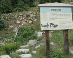
Thirteen months after the new contractor had been put in place, on 26-Jul-1881, the east and west tunnelling crews finally holed through, marking the completion of very first tunnel under the Continental Divide in the US. However, the railhead was still 3.2 miles back in Hancock. Crews worked until late November or early December in 1881 advancing the rails, but winter in the high Rockies put a stop to that. It wasn’t until April of 1882 that work commenced again, and by June they’d only reached Woodstock. By 12-Jul-1882 rails were in as far as Pitkin, and finally by 5-Sep-1882 into Gunnison. Even having started before the Grande, their first train to Gunnison was still 13 months after the D&RG’s first train. From that initial loss, the DSP&P would never recover.
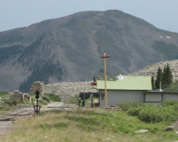
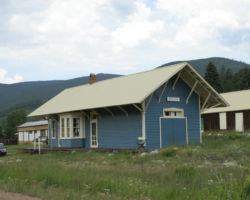
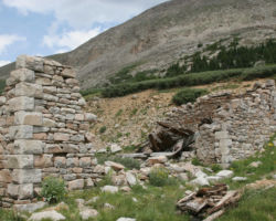
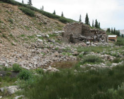
Nonetheless, the Alpine Tunnel crossing was a success in and of itself. It was the first tunnel to be bored under the Continental Divide in the US. It was the highest North American mountain crossing in service at the time. (It was later beaten – slightly – by the D&NWP/D&SL line over Rollins Pass.) It had a spectacular stone enginehouse that not only could hold power for servicing, but also contained an indoor turntable and water tank. Next door was a beautiful stone section house, and on the opposite side of the tracks was a telegraph office and depot.
By 1887, the unmanagability of winter at nearly 12,000 feet was beginning to show. The immense effort needed to keep the line open through the winter couldn’t outweigh the small amount of profit to be made in that period. So, as a cost-saving measure, the nearly-broke Union Pacific simply shut down the line during the winter months. When sufficient ice and snow had melted in the spring, operations would start again. This continued through 1888 and 1889. During the course of 1889, the Denver, South Park and Pacific emerged from bankruptcy, reorganized as the Denver, Leadville & Gunnison. That probably only made things worse, as the reorganized road had little spare cash. In 1890, spring came, but the trains didn’t.
The Denver, Leadville & Gunnison made no effort to restart traffic on the line in 1890. The silver crash had taken the heart out of the Colorado economy, and traffic out of Gunnison, should the DL&G get a share, would be tiny at best. The route was cleared in the spring of 1890 – the remaining ice, snow, and rocks removed – but no trains ran. The segment from St. Elmo on the east Pitkin on the west saw no traffic at all until the spring of 1895. At that point, the DL&G was in receivership. Fortunately for the DL&G, the receivers held large interests in the Baldwin coal mines and thus wanted their product shipped cheaply on friendly rails, rather than paying Rio Grande rates to have it hauled via Marshall Pass.
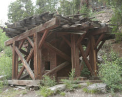
The Alpine Tunnel route was again in use, and remained so right up to the end of the Denver, Leadville & Gunnison. By 1899, the DL&G was merged with the Union Pacific, Denver & Gulf to create the Colorado & Southern. They tried to make the tunnel work – both in terms of keeping it open from the forces of nature and in terms of finding enough traffic to justify its existance. Fate wasn’t on their side, however. The repairs following a small cave-in in 1905 caused the death of four men, asphyxiated from locomotive exhaust while trying to syphon water out from behind the rockfall. The magnificent enginehouse and crew facilities burned in 1906, necessitating construction of a new water tank, turntable, and boarding house. In 1907, another major financial crash hit, dooming what little traffic remained on the line. Eventually the reality of being beaten by the D&RG set in, and the C&S began to weigh the options on what to do with the route.
In late 1910, the C&S proposed a trade – the D&RG would take the Pitkin and Baldwin lines from the C&S, and the C&S would in turn get the Rio Grande’s Blue River Branch, running from Leadville over Fremont Pass to Dillon. This would allow each to operate lines that fit well with their existing networks, and eliminate any need for the Alpine Tunnel route. The Grande quickly accepted this very unbalanced trade, for they knew that the C&S definitely was getting the short end of the proverbial stick. The Blue River Branch not only paralleled the C&S’s existing line up from Leadville via Fremont Pass, but was in almost impassably poor condition and had little or no online traffic. The Pitkin and Baldwin Branches, while quite worn, were still actively producing traffic. With the deal made, the last train – regular eastbound passenger train 94 – left Gunnison on 20-Oct-1910. After its passage through the Alpine Tunnel, the first tunnel under the Divide would never see another train.
The rails between Quartz and Hancock survived for some time after the last run, not being taken up until 1923. By that point, the tunnel had a number of small cave-ins, and thus, inside the tunnel, the entire track structure is intact. The right of way sat idle for another thirty years, until it was converted into a road around 1959s.
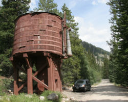
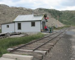
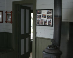
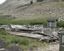
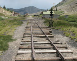
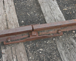
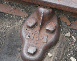
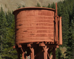
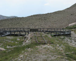
Today restoration continues, starting from the early efforts in the 1960s. It wasn’t any railroad club or government organization that began preservation efforts, but rather a few members of the Mile Hi Jeep Club, along with Francis Trudgeon of Pitkin. It was these folks who were responsible for fixing up the Tunnel Gulch water tank and for starting work on the Alpine Tunnel Station telegraph office. Certainly Colorado railroad historians and South Park enthusiasts MC Poor and Dow Helmers also deserve significant credit in the effort to keep Alpine Tunnel history alive. More recently, in 1992, the preservation banner was passed to Ray Rossman of the US Forest Service. My understanding is that he was largely responsible the 1993 designation of the Quartz-Hancock railbed as the Alpine Tunnel Historic District by the US Forest Service. Further work got the Historic District further recognition in 1995, with its placement on the Colorado Register of Historic Properties and in 1996, when it was included into the National Register of Historic Places. Today, the USFS and the volunteers of the non-profit Alpine Tunnel Historic Association continue the effort to rebuild and restore the west portal area to its 1910 appearance. The telegraph office is nearly complete, the old turntable area looks great, and it’s good to see track back in roughly the right spot, complete with those bizarre Fisher joints. I was told by the USFS volunteer up there that day that this year’s main project is the tool shed behind the old engine house, along with a few telegraph poles and finishing up inside the telegraph office.
Pitkin to Palisades
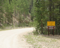
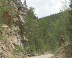
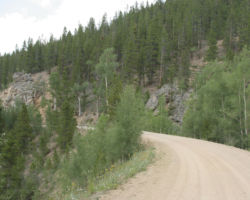
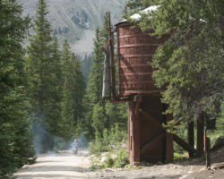
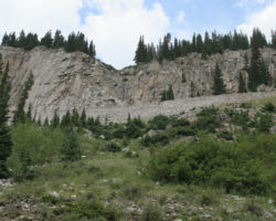
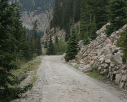
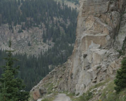
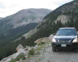
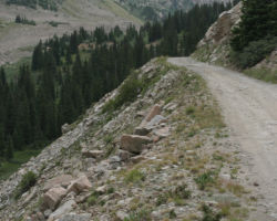
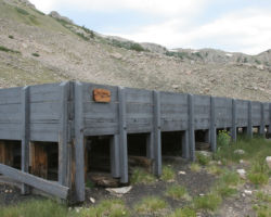
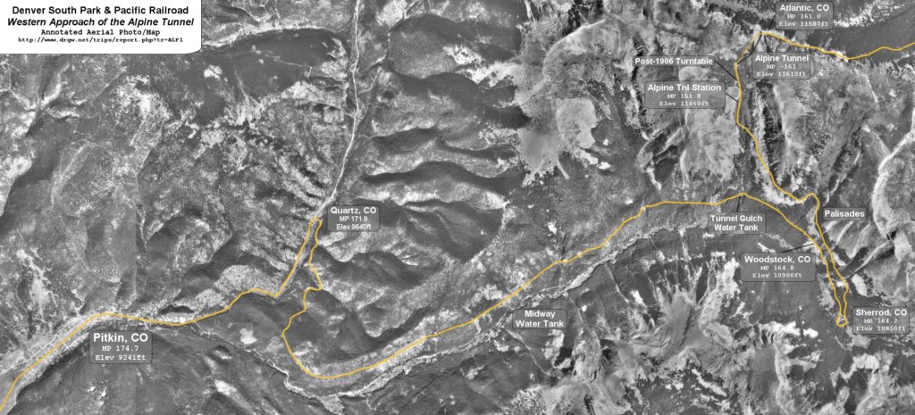
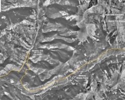
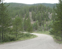
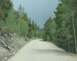
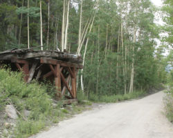
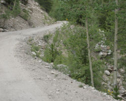
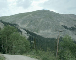
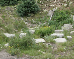
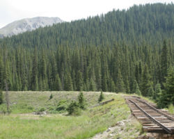
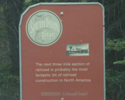
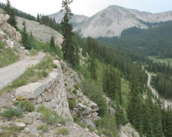
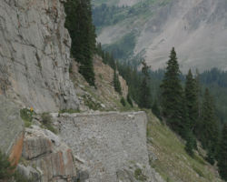
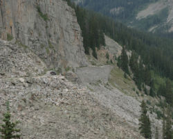
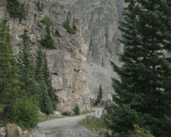
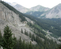
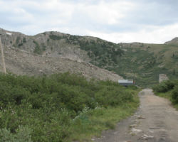
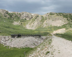
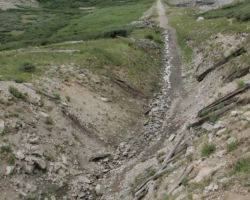
The western approach, from Pitkin up through Quartz to the west portal, is a gravel or dirt road built on top of the old grade in most places. While only 13 miles long, the last ten miles can take two hours. The line climbs on a nearly constant 4% grade after leaving Quartz, following the Middle Quartz Creek valley up towards the main range of the Rockies. Along the way, you’ll pass the bases for four water tanks, two old townsites, and the Alpine Tunnel Station facility itself. The road also takes you over some narrow ledges on top of hand fitted stone walls, built some 125 years ago and nearly untouched since, known as the Palisades, as well as through a number of cuts and over fills that you can just imagine the old DSP&P trains working their way through.
The West Portal of Alpine Tunnel
All photographs in this trip report were taken with a Canon EOS 20D using either a Canon 24-105mm F4 L IS/USM or a Canon 75-300mm f4-5.3 IS/USM.
This work is copyright 2024 by Nathan D. Holmes, but all text and images are licensed and reusable under a Creative Commons Attribution-NonCommercial-ShareAlike license. Basically you’re welcome to use any of this as long as it’s not for commercial purposes, you credit me as the source, and you share any derivative works under the same license. I’d encourage others to consider similar licenses for their works.
